


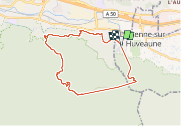

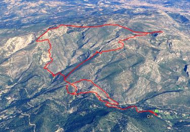
14.2 km | 24 km-effort

User


FREE GPS app for hiking
 SityTrail
IGN / Geographical institutes
SityTrail World
The world is yours!
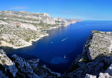
Trail Walking of 8.7 km to be discovered at Provence-Alpes-Côte d'Azur, Bouches-du-Rhône, La Penne-sur-Huveaune. This trail is proposed by venaut .
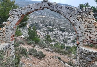
randonnées à éviter quand il fait chaud. très beau panorama sur le garlaban et la ste baume


Walking

Walking
Walking
On foot

Walking

Other activity
Walking
Walking
Walking